Log in
All resources
Create a design
863,826 Free Images of Maps By Coronelli
maps in the library of congress
united states geological survey maps
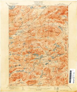
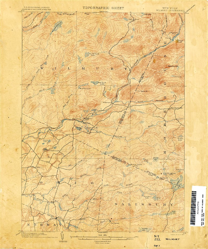
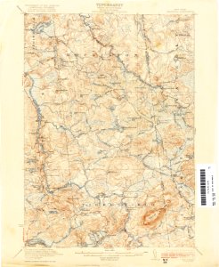
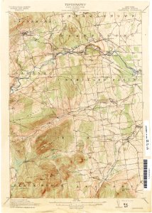
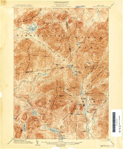
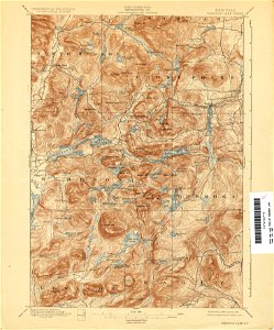
topographic maps of new york (state)
maps of the adirondack mountains
old maps of new york (state)
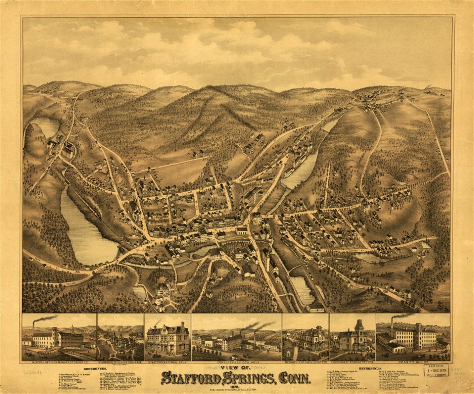
o. h. bailey
old maps of connecticut
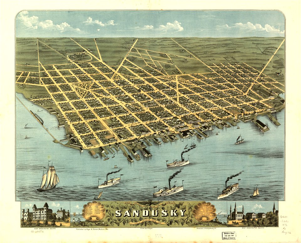
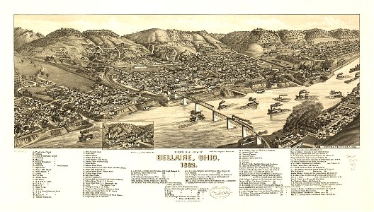
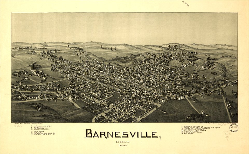
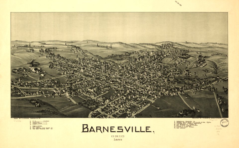
ohio
bird's eye view maps of ohio
1881 maps
prints from bonne atlas de toutes les parties at the peace palace library
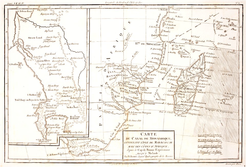
maps of the comoros
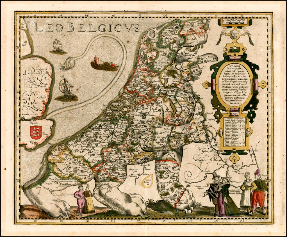
coats of arms on maps
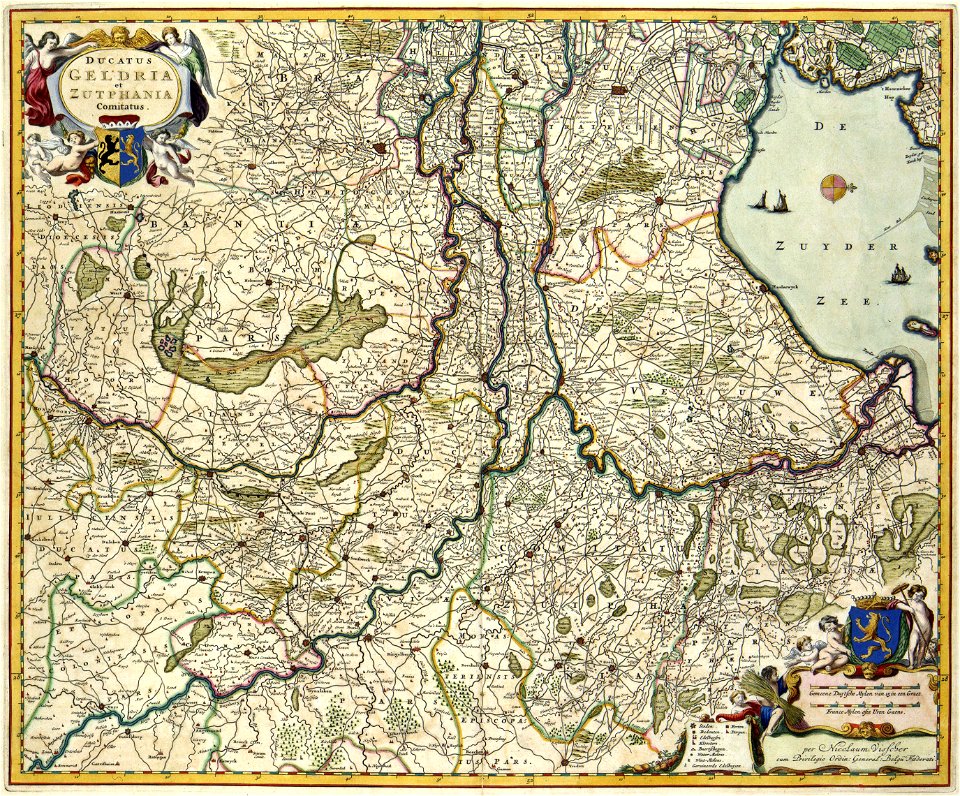
guelder
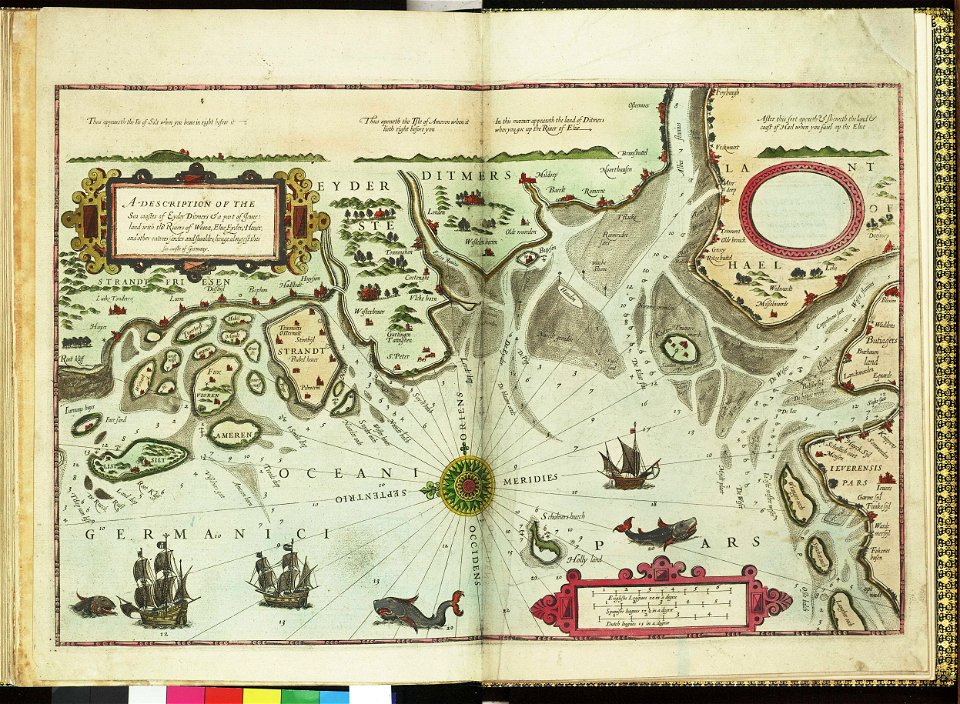
german bight
1588 maps
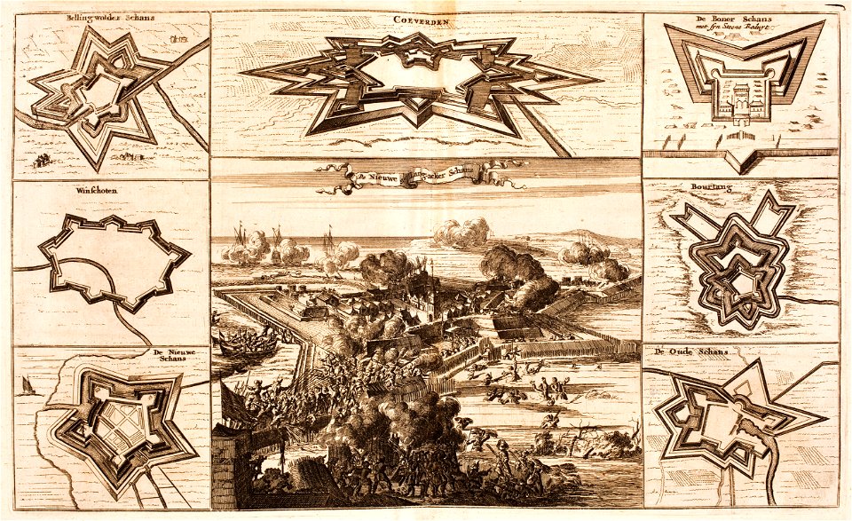
bad nieuweschans
coevorden
maps in the library of congress
ohio
maps in the library of congress
ohio
english-language maps
1776 maps
david rumsey historical map collection
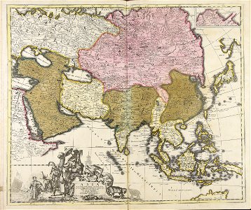
old maps of asia
wisconsin
watertown
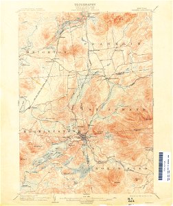
united states geological survey maps
old maps of new york (state)
united states geological survey maps
old maps of new york (state)
united states geological survey maps
old maps of new york (state)
united states geological survey maps
old maps of new york (state)
bellaire
ohio
bellaire
ohio
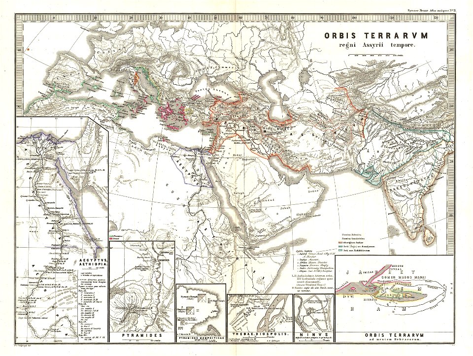
karl spruner von merz
1865 maps of europe
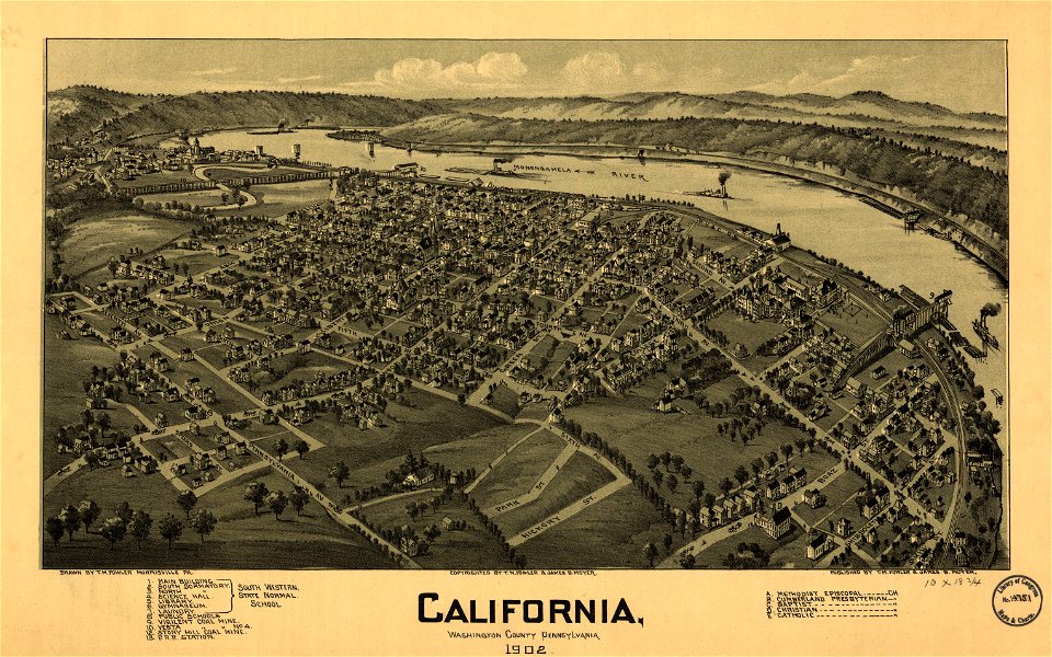
pennsylvania
california
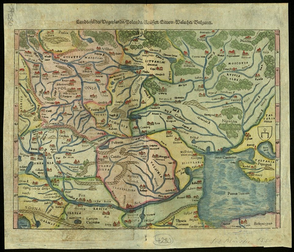
illustrations of cosmographia (münster)
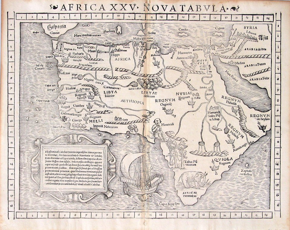
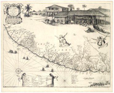
1550s maps of africa
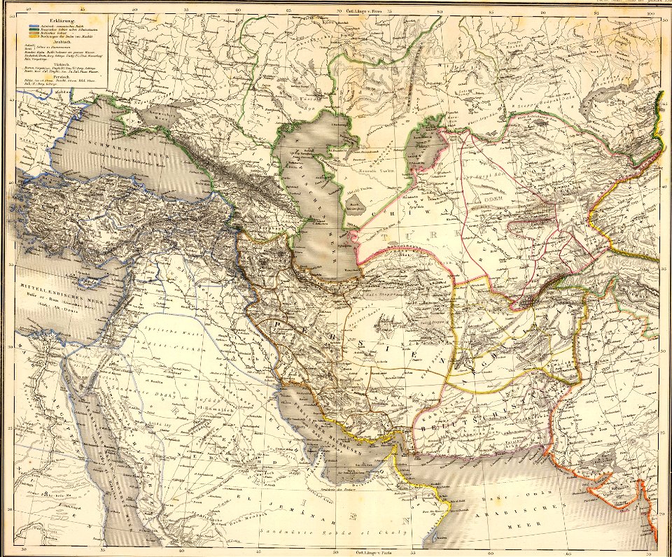
19th-century maps of the caucasus
1865 maps
maps in the library of congress
ohio
pieter van der keere
ships on maps
maps in the library of congress
ohio
old maps of pernambuco
cornelis goliath
united states geological survey maps
old maps of new york (state)
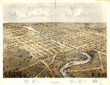
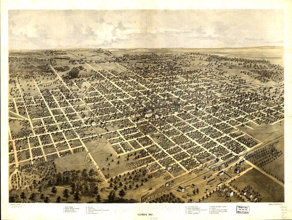
maps in the library of congress
illinois
maps in the library of congress
illinois
fonds ancely - bibliothèque municipale de toulouse - maps
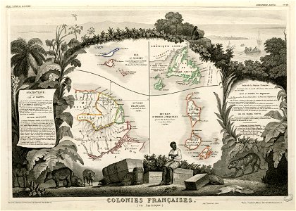
old maps of guyana
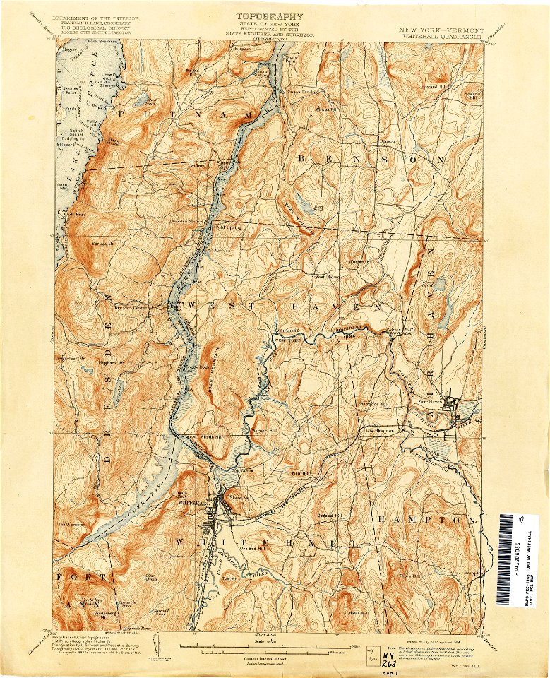
united states geological survey maps
old maps of new york (state)
united states geological survey maps
old maps of new york (state)
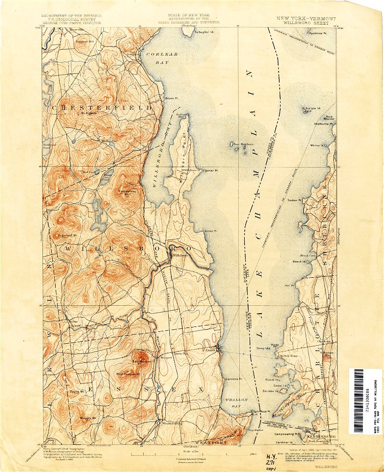
united states geological survey maps
old maps of new york (state)
united states geological survey maps
old maps of new york (state)
united states geological survey maps
old maps of new york (state)
united states geological survey maps
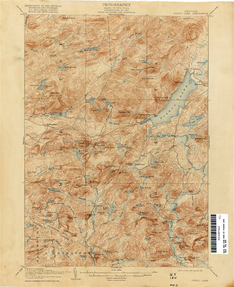
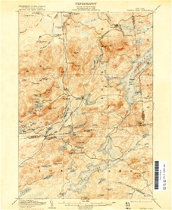
topographic maps of new york (state)
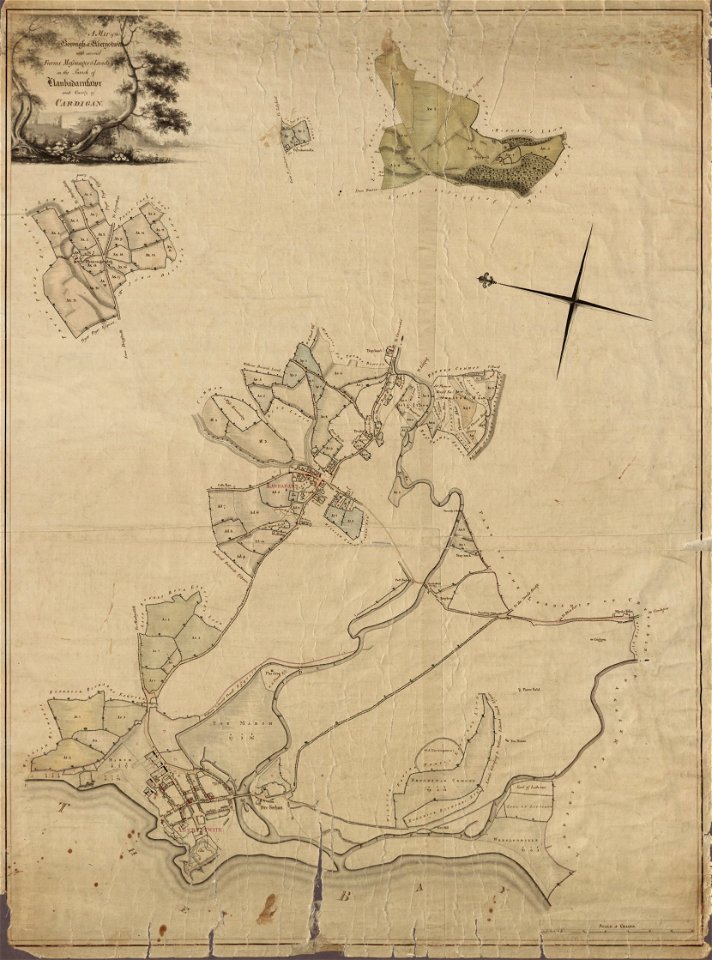
llanbadarn fawr
ceredigion
united states geological survey maps
topographic maps of new york (state)
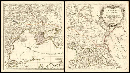
18th-century maps of the black sea
charles françois delamarche
united states geological survey maps
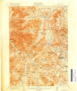
topographic maps of new york (state)
united states geological survey maps
topographic maps of new york (state)
united states geological survey maps
old maps of new york (state)
united states geological survey maps
old maps of new york (state)
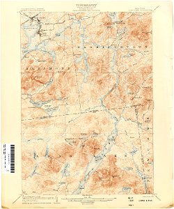
united states geological survey maps
topographic maps of new york (state)
maps in the library of congress
1861 maps of south carolina
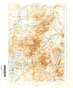
united states geological survey maps
old maps of new york (state)
united states geological survey maps
old maps of new york (state)
united states geological survey maps
old maps of new york (state)
united states geological survey maps
old maps of new york (state)
united states geological survey maps
old maps of new york (state)
united states geological survey maps
old maps of new york (state)
united states geological survey maps
old maps of new york (state)
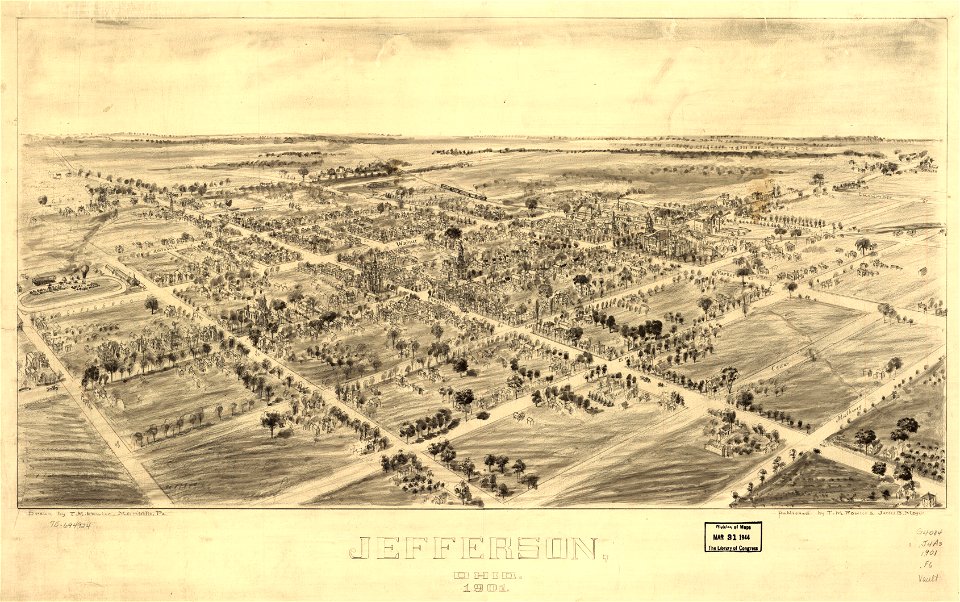
jefferson
ohio
jefferson
ohio
united states geological survey maps
old maps of new york (state)
united states geological survey maps
old maps of new york (state)
united states geological survey maps
old maps of new york (state)
united states geological survey maps
old maps of new york (state)
united states geological survey maps
old maps of new york (state)
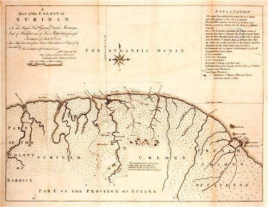
old maps of suriname
old maps of guyana
united states geological survey maps
old maps of new york (state)
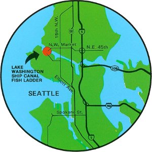
fish ladders in the united states
1996 maps
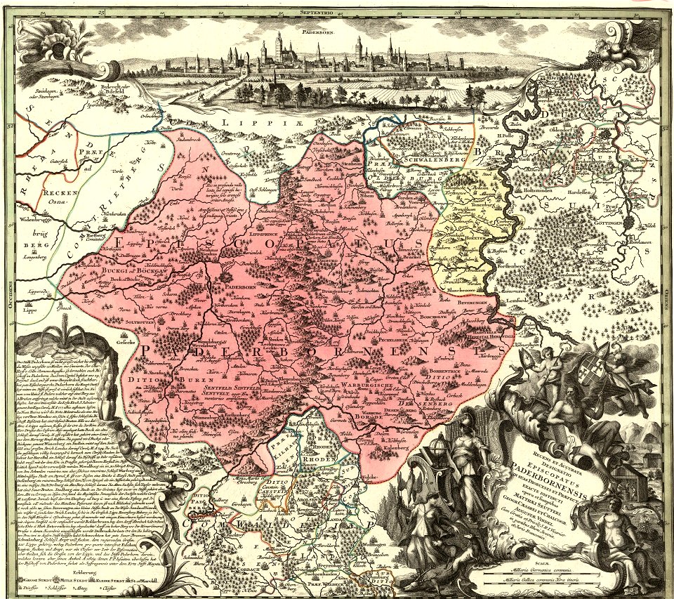
maps by matthäus seutter
history of celle
topographic maps of africa
maps in literature
university of toronto wenceslas hollar digital collection
maps by wenzel hollar
atlantis magni tomus quintus (biblioteca comunale di trento)
18th-century maps of asia
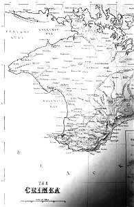
old maps of crimea
1856 maps
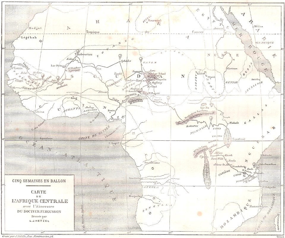
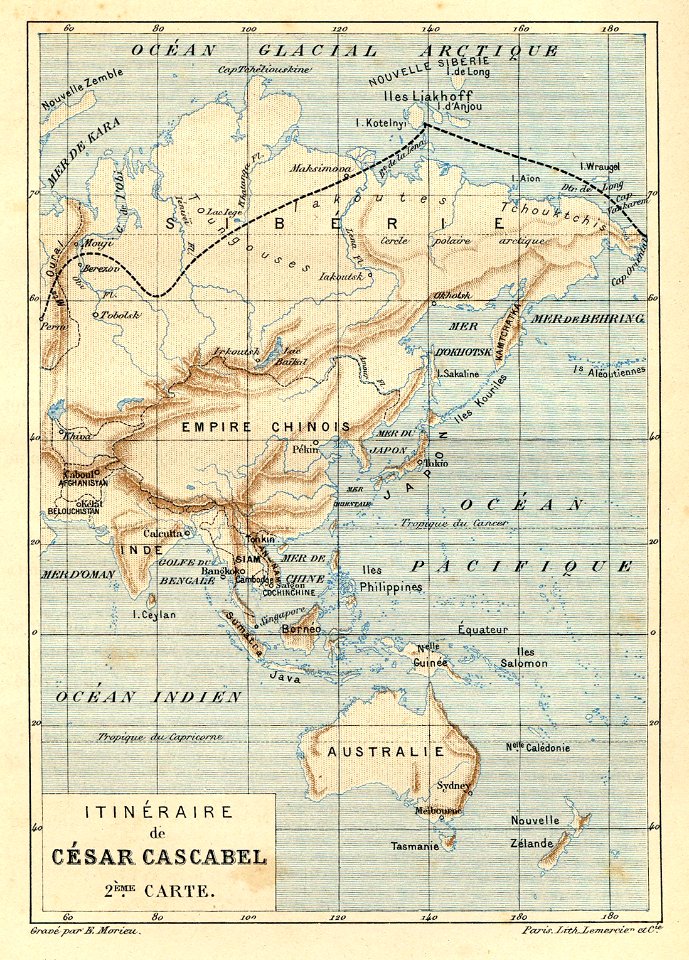
illustrations from césar cascabel by george roux
césar cascabel
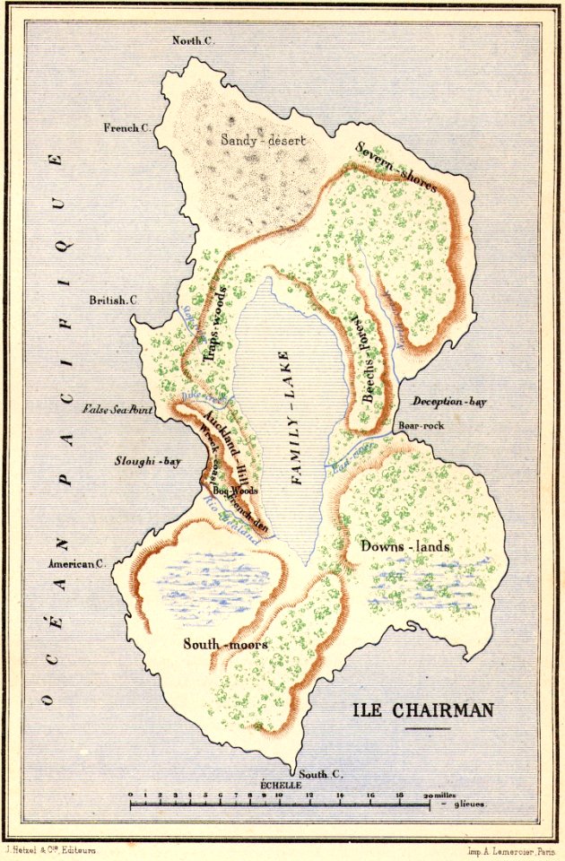
maps of fictional islands
maps in literature
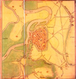
maps by jacob van deventer
old maps of roermond
hand-drawn maps and views of world war i battlefields by h.m.
old maps of the english channel
maps made in the 16th century
1551
images from bristol past and present (1882)
old maps of bristol
ukiyo-e by unknown artists
1870s maps of the world
maps by matthäus seutter
tobias conrad lotter
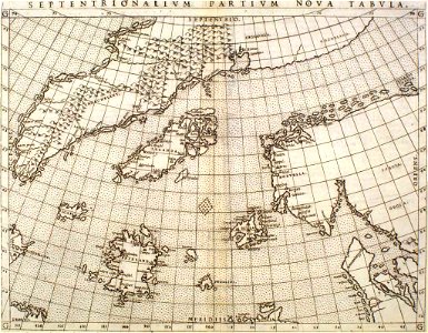
maps by sebastian münster
old maps of slovakia
maps by willem and johannes blaeu
wijnhaven, the hague
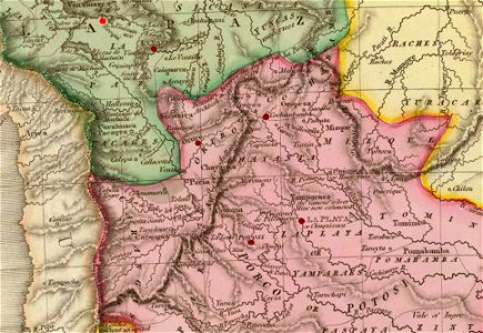
19th-century maps of the spanish empire
1810s maps of south america
charts and maps of the royal museums greenwich
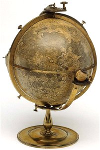
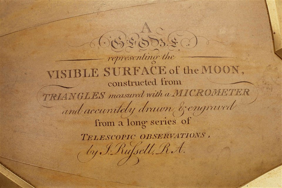
old maps of the moon
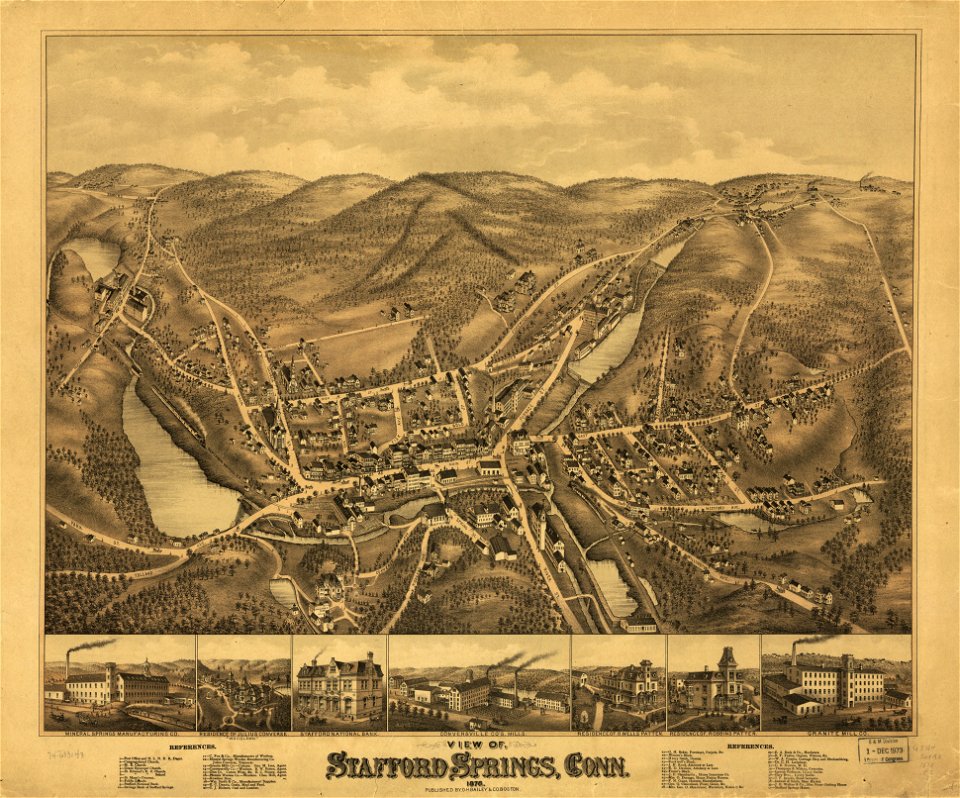
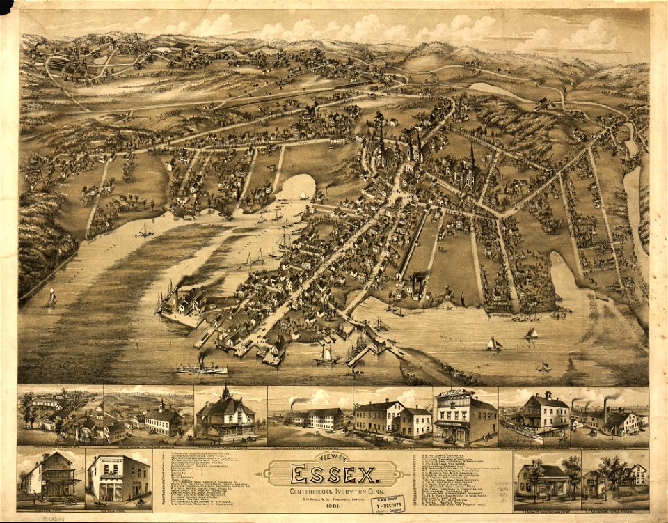
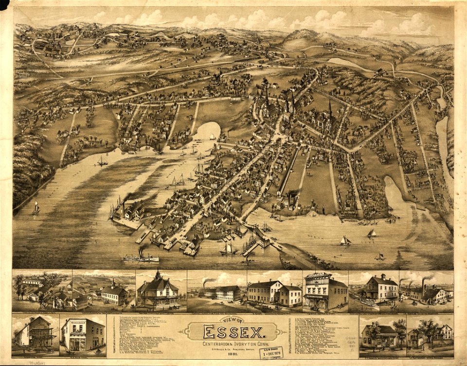
old maps of connecticut
o. h. bailey
old maps of connecticut
o. h. bailey
o. h. bailey
1880 maps
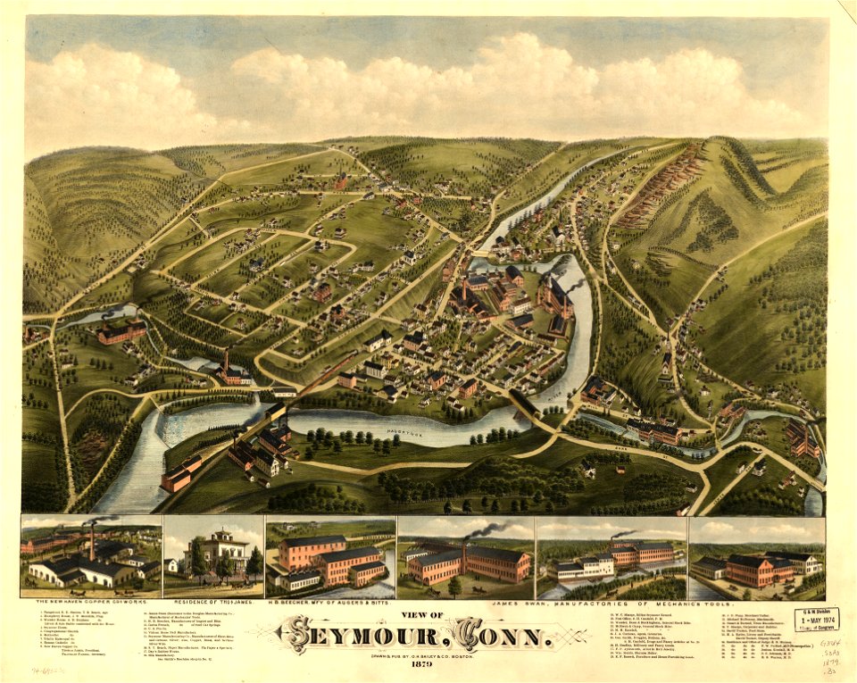
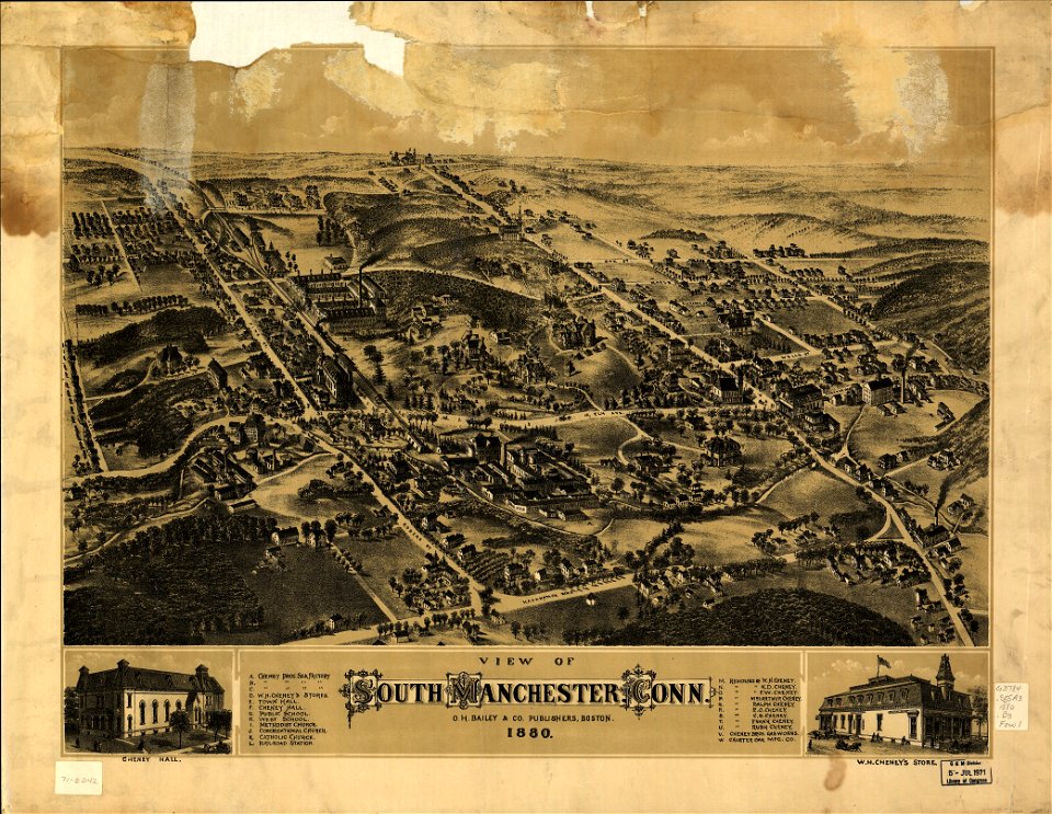
old maps of connecticut
o. h. bailey
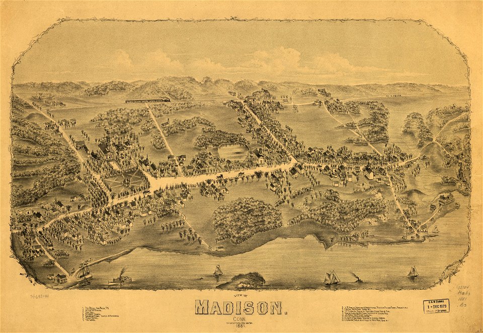
old maps of connecticut
o. h. bailey
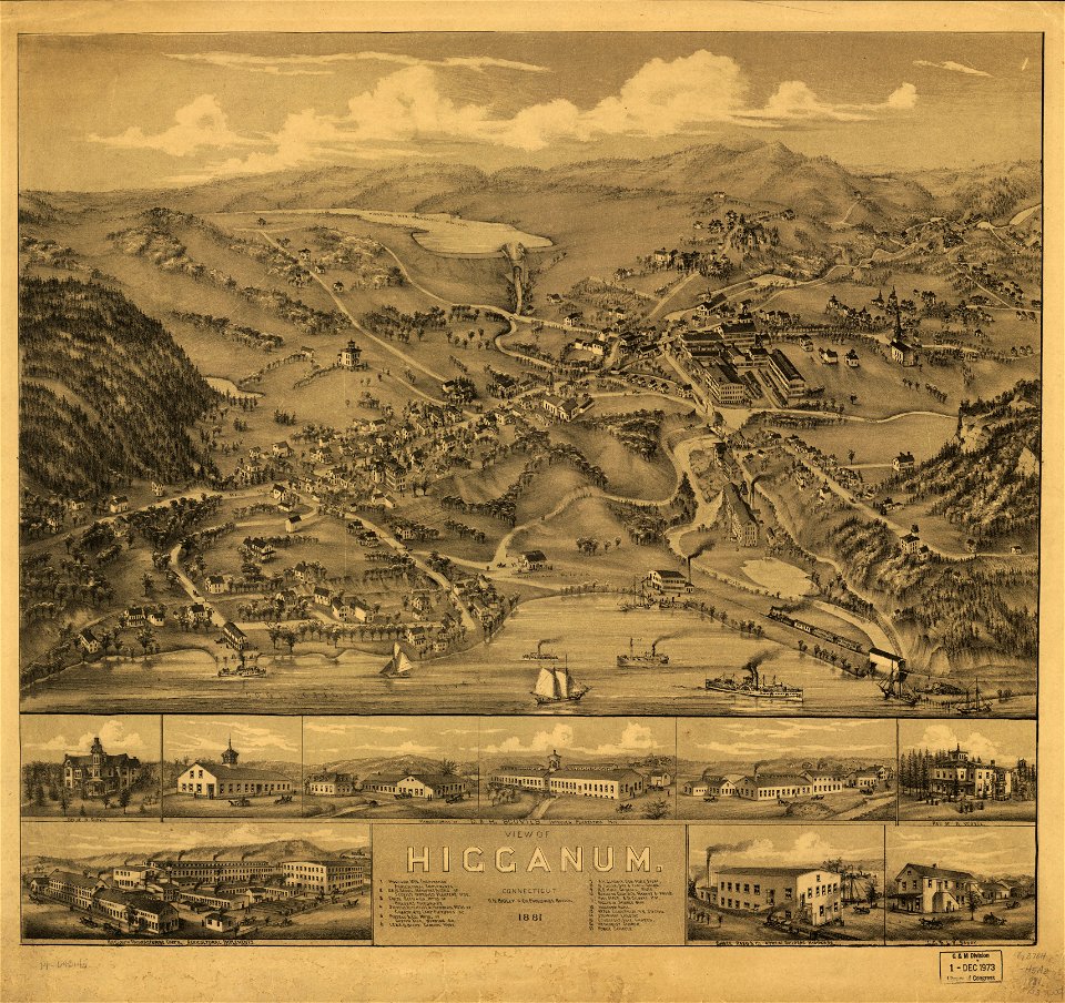
old maps of connecticut
o. h. bailey
old maps of connecticut
o. h. bailey
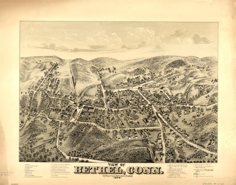
old maps of connecticut
o. h. bailey
old maps of connecticut
o. h. bailey
old maps of connecticut
o. h. bailey
maps in the library of congress
o. h. bailey
old maps of connecticut
o. h. bailey
old maps of connecticut
o. h. bailey
o. h. bailey
1880 maps
old maps of connecticut
o. h. bailey
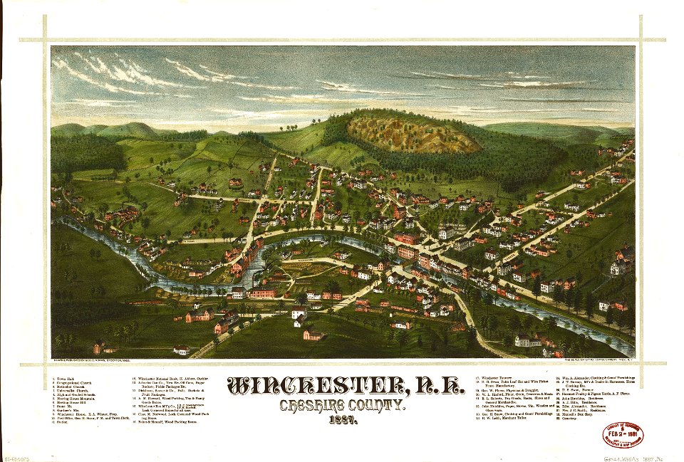
maps in the library of congress
1887 maps of new hampshire
old maps of connecticut
o. h. bailey
old maps of connecticut
o. h. bailey
maps in the library of congress
o. h. bailey
old maps of massachusetts
o. h. bailey
old maps of massachusetts
o. h. bailey
maps in the library of congress
1887 maps of new hampshire
charts and maps of the royal museums greenwich
old maps of the moon
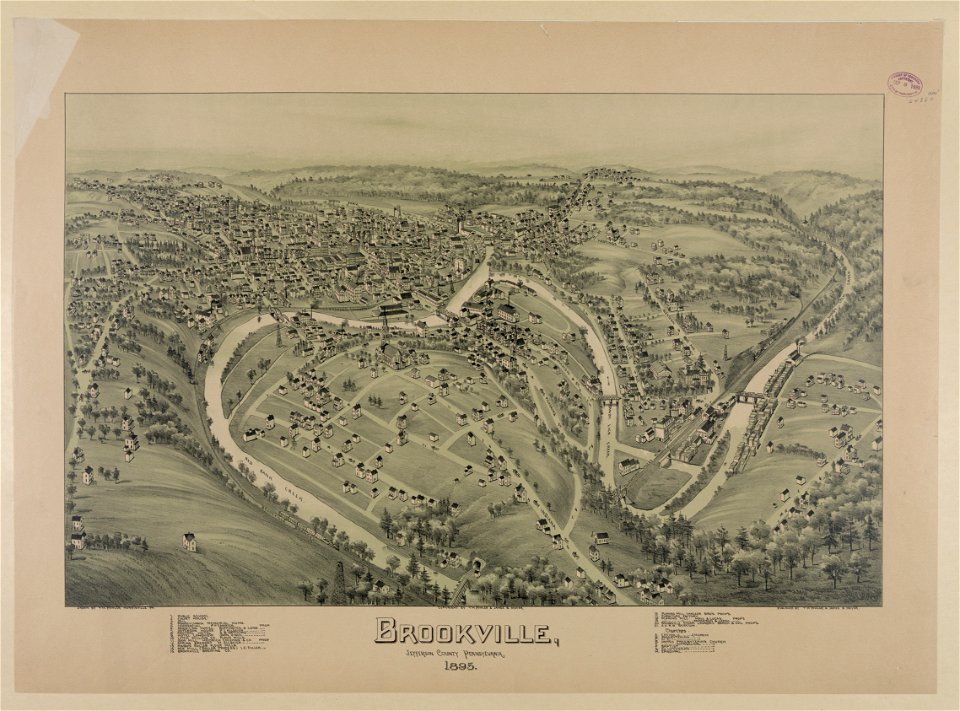
bird's eye view maps of pennsylvania
pennsylvania
2701 - 2800 of 863,826
Next page
/ 8639